 admin@prodriver.in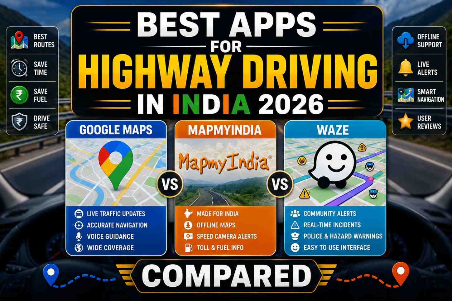
Your smartphone navigation app is as essential as your steering wheel on an Indian highway in 2026. But not all apps are equal — especially in India, where remote highway sections often have weak data connectivity, where road numbers have been renumbered, and where real-time information about police checks, toll plazas, and pothole clusters genuinely matters. These are the best apps for highway driving in India in 2026—compared honestly, feature by feature.
Why Choosing the Right Highway App Matters in India
The best apps for highway driving in India in 2026 need to meet specific Indian requirements:
- Offline maps—critical for highways through Himachal, Uttarakhand, Northeast, and remote Rajasthan where data signals drop
- Indian highway database accuracy—India’s road network is changing fast; apps with outdated maps send drivers to non-existent roads
- Real-time traffic — especially for highways near major cities where congestion can add hours to a trip
- Toll plaza information — FASTag-enabled plazas, estimated toll costs, and alternative routes
- NHAI milestone markers — precise location references that match what you see on the road
- Dhaba and fuel station listings — practical for long highway drives
App 1 — Google Maps
Platform: Android and iOS | Free
Google Maps remains the most widely used of all the best apps for highway driving in India in 2026—and for good reason. Its combination of real-time traffic, satellite imagery, and user-generated updates makes it the most current highway navigation tool available.
Strengths for Indian Highway Driving
- Real-time traffic data—crowd-sourced from millions of Indian users. Congestion on NH48 near Bengaluru or the Yamuna Expressway is updated in near real-time.
- Offline maps — download entire state maps for navigation without data. Critically important for remote highway sections.
- Street View — useful for previewing unfamiliar exits or junctions before you reach them
- Fuel station and restaurant search — good database of highway fuel stations, though dhaba listings are less comprehensive than MapMyIndia
- Speed limit display — shows posted speed limits for most national highways
- Voice navigation — available in Hindi, Tamil, Telugu, Bengali, Marathi, and more
Weaknesses for Indian Highway Use
- Non-Indian company—road numbering occasionally uses older NH numbers before NHAI’s 2016 renaming exercise
- Remote area maps—less detailed than Map MyIndia for Himalayan roads and northeastern highways
- Does not show NHAI milestone markers—emergency location referencing is harder
- Toll cost estimates — present but occasionally inaccurate for newly opened or modified toll plazas
Offline Capability: ★★★★★
Indian Highway Accuracy: ★★★★☆
Real-Time Traffic: ★★★★★
App 2 — MapMyIndia (Now Move)
Platform: Android and iOS | Free (premium features available)
MapMyIndia — rebranded as Move — is India’s official mapping platform, used by the Government of India and NHAI. It is the most authoritative of all best apps for highway driving in India 2026 for Indian-specific highway data.
Strengths for Indian Highway Driving
- Official Indian mapping data — updated directly with NHAI and government surveys. Most accurate for new expressways, highway bypasses, and road reconfigurations.
- NHAI milestone markers—show highway kilometre post numbers that match the green markers on the road, enabling precise emergency location reporting
- Toll plaza information — most comprehensive toll data of any navigation app in India, including FASTag lanes and current toll rates
- Offline maps — robust offline navigation that works reliably even in areas with no data signal
- Dhaba and wayside amenity data — better than Google Maps for highway food and rest stop listings
- EV charging station database—relevant for electric vehicle highway travellers
- Government route data — shows some restricted roads and official detours not available on Google Maps
Weaknesses for Indian Highway Use
- Real-time traffic — less crowd-sourced data than Google Maps in most cities
- UI/UX—the interface is functional but less polished than Google Maps or Waze
- Voice commands — less sophisticated than Google Maps
Offline Capability: ★★★★★
Indian Highway Accuracy: ★★★★★
Real-Time Traffic: ★★★☆☆
App 3 — Waze
Platform: Android and iOS | Free
Waze is the most community-driven of all the best apps for highway driving in India in 2026. Its real-time police alert and hazard reporting features are what set it apart.
Strengths for Indian Highway Driving
- Real-time community alerts—police checks, speed cameras, accidents, road hazards, and debris on the road are reported by other Waze users in real time
- Speed camera warnings — most comprehensive real-time speed camera and police presence alerts of any navigation app
- Accident and hazard reporting — you can contribute and receive reports from other drivers about specific hazards on your exact route
- Fuel price comparison — integrated fuel price data at highway petrol stations (crowd-sourced)
- Free route rerouting — dynamically reroutes around traffic incidents
Weaknesses for Indian Highway Use
- Offline maps — Waze does NOT support offline map download. It is entirely dependent on live data connectivity. This is the single biggest limitation for Indian highway use in remote areas.
- Smaller user base in India — real-time alerts are only as good as the number of users. On remote highways, the community data is thin.
- Less accurate Indian map data—relies on Google Maps’ underlying data but with Indian-specific community layers on top
Offline Capability: ★☆☆☆☆ (None — critical limitation)
Indian Highway Accuracy: ★★★☆☆
Real-Time Traffic: ★★★★★
App 4 — HERE WeGo
Platform: Android and iOS | Free
HERE WeGo is less known in India but is one of the most reliable, best apps for highway driving in India in 2026, specifically for offline navigation quality.
Strengths
- Offline maps are the best in class—highly detailed, downloadable by state, works seamlessly without any data connection
- No data dependency — full turn-by-turn navigation, speed limits, and POI data available offline
- Battery efficient — uses less battery than Google Maps or Waze in offline mode
Weaknesses
- No real-time traffic in India — limited crowd-sourced Indian data
- Smaller POI database—fewer restaurant, fuel station, and dhaba listings in India
- No toll cost estimates for Indian highways
Offline Capability: ★★★★★
Indian Highway Accuracy: ★★★☆☆
Real-Time Traffic: ★☆☆☆☆
Head-to-Head Comparison — Best Apps for Highway Driving India 2026
| Feature | Google Maps | MapMyIndia | Waze | HERE WeGo |
|---|---|---|---|---|
| Offline Maps | ★★★★★ | ★★★★★ | ✗ None | ★★★★★ |
| Indian Road Accuracy | ★★★★☆ | ★★★★★ | ★★★☆☆ | ★★★☆☆ |
| Real-Time Traffic | ★★★★★ | ★★★☆☆ | ★★★★★ | ★☆☆☆☆ |
| Toll Information | ★★★★☆ | ★★★★★ | ★★★☆☆ | ★★☆☆☆ |
| Police/Camera Alerts | ★★★☆☆ | ★★★☆☆ | ★★★★★ | ★★☆☆☆ |
| Dhaba/Food Listings | ★★★★☆ | ★★★★★ | ★★★☆☆ | ★★☆☆☆ |
| NHAI Milestone Data | ✗ | ★★★★★ | ✗ | ✗ |
| Hindi Voice Navigation | ★★★★★ | ★★★★☆ | ★★★☆☆ | ★★☆☆☆ |
The Best Strategy for Indian Highway Driving Apps 2026
Rather than choosing one app, use this combination approach used by experienced Indian highway drivers:
- Primary navigation: Google Maps (real-time traffic + offline maps for most routes)
- Secondary/official data: Map MyIndia (keep installed for Himalayan routes, new expressways, and emergency milestone data)
- Speed camera alerts: Waze running in background on data-connected routes near cities
- Totally offline routes: HERE WeGo for Himachal, Uttarakhand, Ladakh, and Northeast highway sections
FAQs — Best Apps for Highway Driving India 2026
Q1. Which is the best navigation app for Indian highway driving in 2026? Google Maps for most highway drives. MapMyIndia for new expressways, Himalayan roads, and when you need NHAI milestone-level accuracy. Waze is for city-outskirt highways where police and speed camera data is valuable.
Q2. Which app works best without internet on Indian highways? Google Maps (with pre-downloaded state maps) and HERE WeGo both offer excellent offline navigation. Waze has no offline capability and should not be relied upon for remote highway sections.
Q3. Does Map Does MyIndia show current toll rates for Indian highways? Yes—Map MyIndia has the most comprehensive and updated toll rate database of any navigation app available in India, including FASTag lane information.
Q4. How do I download offline maps on Google Maps for Indian highways? Open Google Maps → tap your profile picture → Offline maps → Select your own map → Draw a box over the area you want to download → Download. One download covers thousands of square kilometers.
Q5. Is Waze useful for highway driving in rural India? Limited utility — Waze’s strength is community-reported hazards and police checks, which require a critical mass of active users on that specific road. In rural India, that user density often does not exist. Stick to Google Maps or Map MyIndia is for rural highway navigation.
Conclusion
The best apps for highway driving in India in 2026 are not competitors—they are complements. Install Google Maps and maps. MyIndia as your core navigation tools. Download offline maps for every state you plan to drive through. Add Waze for urban highway stretches where community alerts add genuine value.
Your navigation app is your co-pilot on every highway journey. Choose wisely, download offline maps before you leave home, and never start a long drive relying only on live data connectivity.
Which navigation app do you use for Indian highway drives? Share your experience in the comments—and any hidden gems that experienced highway drivers swear by!
Image Suggestions:
- Image 1 — After the introduction: A car dashboard mount showing a smartphone with Google Maps navigation active on an Indian highway. ALT text: best apps for highway driving India 2026 — Google Maps on car dashboard
- Image 2 — After the Comparison Table: Screenshots of Google Maps, MapMyIndia, and Waze side by side showing the same Indian highway route. ALT text: best apps for highway driving India 2026—Google Maps vs Map MyIndia vs Waze comparison
External Links: